This is an old revision of the document!
Major Hurricane Harvey
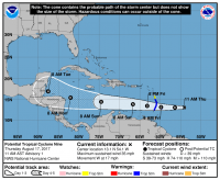
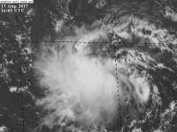
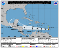
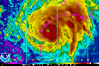 PTC 9 formed at the 11 am advisory on August 17, 2017 with max winds of 35 mph and a central pressure of 1008mb. PTC 9 was the first of 3 waves off of Africa (91L) to form into an organized system.
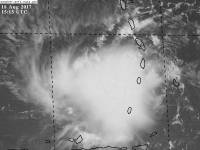
That afternoon, a recon flight flew into PTC 9 and found a closed circulation, and was named Tropical Storm Harvey with winds of 40 mph and a pressure of 1006mb.
Harvey endured heavy shear and dissipated the evening of August 19, 2017.
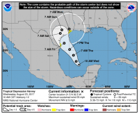
After dissipating, Harvey stayed an open wave until it reached the Gulf of Mexico and reformed a circulation and regained tropical depression status.
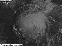
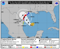
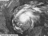
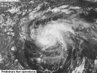
After being weak and disorganized for some time, overnight after Harvey formed, Harvey began to organize faster and by the 8 AM advisory the next day, Harvey had rapidly strengthened into a 60 mph 986 mb tropical storm. The models initially skewed right with a loop, then left some, then right again after the intensification.
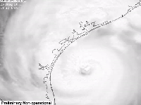
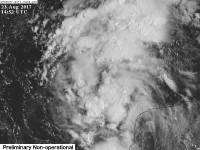
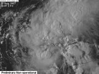
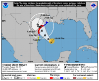
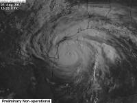
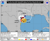
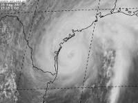
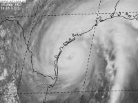
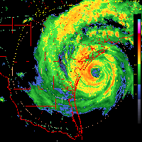
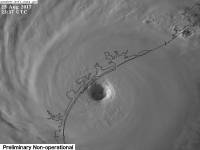
Harvey continued to rapidly intensify into a strong category 2 hurricane the morning of August 25, 2017, with winds of 110 mph and a central pressure of 950 mb.
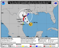
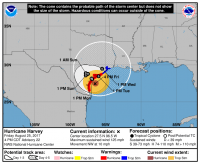
After completing an Eyewall Replacement Cycle (ERC), Harvey strengthened more and became the first major hurricane of the year, and was predicted to be teh first one to hit the US in 12 years, since Wilma in 2005.
Impacts
Harvey made little impacts to the Caribbean, but once it moved into the Gulf, it began to quickly stir the seas up. As it got closer to land the stronger impacts occurred, with Hurricane warnings being issued and Tropical storm warnings as well. Flooding was a major concern and had already begun with the storm surge on August 25, 2017.
Which Model Won?
Part 1*
- ECMWF - Weak Tropical storm or depression at best, headed toward Central America.
- CMC - Developed the system entirely and into a category 1 hurricane. Path into Central America.
- GFS - Had no interest in developing the system, took it into Central America as a weak wave.
- UKMET - Developed the storm into a weak tropical storm.
- HWRF - Developed system numerous times into a hurricane, pressure around 970 mb with cat 1 or weak cat 2 winds. Path into Central America.
- HMON - Kept the wave weak, developed it into a mid grade tropical storm at best. Path into Central America.
End Result:
Part 2*
- ECMWF - Strong Tropical storm or weak hurricane into Southern Texas, then offshore and into Louisiana as the same. Transitioned to hurricane into the same area.
- CMC - Initially nothing, then cat 1 hurricane with 980mb's pressure into Southern Texas, then transitioned to a hurricane into South Texas never reemerging.
- GFS - Moderate tropical storm to strong cat 1 or 2 into Houston or Southern Texas with pressures bottoming out in the low 960mb's to upper 950mb's.
- UKMET - Moderate tropical storm.
- HWRF - Strong cat 1 or 2 hurricanes into Mexico initially, then took the same strength into Southern Texas, then a strong cat 2. Sniffed out RI first.
- HMON - Weak tropical storm initially, then took cat 1 or cat 2 into Southern Texas.
End Result:
* Each section, the points are halved
