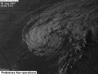
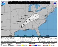
Major Hurricane Harvey
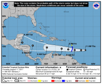
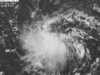
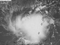
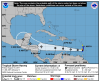
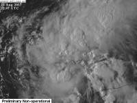
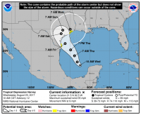
 PTC 9 formed at the 11 am advisory on August 17, 2017 with max winds of 35 mph and a central pressure of 1008mb. PTC 9 was the first of 3 waves off of Africa (91L) to form into an organized system.
That afternoon, a recon flight flew into PTC 9 and found a closed circulation, and was named Tropical Storm Harvey with winds of 40 mph and a pressure of 1006mb.
Harvey endured heavy shear and dissipated the evening of August 19, 2017.
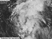
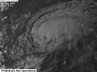
After dissipating, Harvey stayed an open wave until it reached the Gulf of Mexico and reformed a circulation and regained tropical depression status.
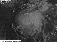
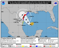
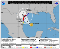
After being weak and disorganized for some time, overnight after Harvey formed, Harvey began to organize faster and by the 8 AM advisory the next day, Harvey had rapidly strengthened into a 60 mph 986 mb tropical storm. The models initially skewed right with a loop, then left some, then right again after the intensification.
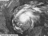
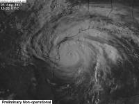
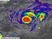
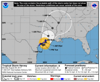
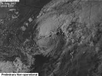
Harvey continued to rapidly intensify into a strong category 2 hurricane the morning of August 25, 2017, with winds of 110 mph and a central pressure of 950 mb.
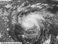
After completing an Eyewall Replacement Cycle (ERC), Harvey strengthened more and became the first major hurricane of the year, and was predicted to be teh first one to hit the US in 12 years, since Wilma in 2005.
Afer dumping tons of rain and ravaging Southeast Texas, then moving off shore and into Louisiana for a second landfall, Harvey had its last NHC advisory on the evening of August 30, 2017 at 11PM.
After a few days of WPC advisories, Harvey dissipated on the 2 PM advisory, or advisory 53 after weeks of being a system.
Impacts
Harvey made little impacts to the Caribbean, but once it moved into the Gulf, it began to quickly stir the seas up. As it got closer to land the stronger impacts occurred, with Hurricane warnings being issued and Tropical storm warnings as well. Flooding was a major concern and had already begun with the storm surge on August 25, 2017.
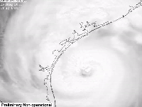
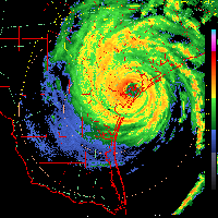
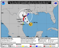
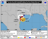
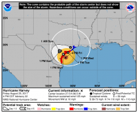
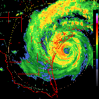
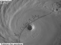
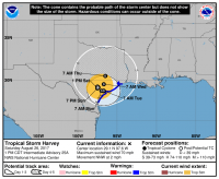
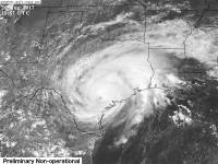
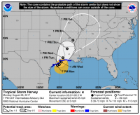
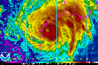
Right before Harvey made landfall, it strengthened into a powerful category 4 hurricane, with winds of 130 mph and a central pressure of 941 mb, making it the strongest storm to hot the area in over 50 years.
At landfall, the NHC announced this: “…EYE OF CATEGORY 4 HARVEY MAKES LANDFALL BETWEEN PORT ARANSAS AND PORT O'CONNOR TEXAS…”
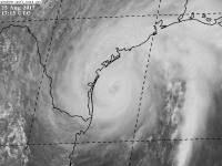
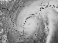
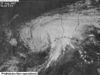
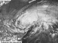
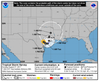
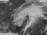
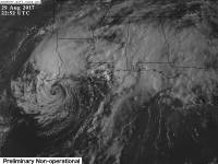
Harvey made landfall officially as a cat 4 with winds of 130 mph and a central pressure of 938 mb. As it made landfall, it caused catastrophic damage to Rockport, Texas as it came ashore. Buildings were damagede heavily as well as flooded for some time. One man died in a fire from landfall, and several were injured.
Harvey continued to move inland the day after landfall, spawning dozens of tornado warnings with many tornadoes being reported as well as more damage.
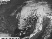
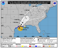
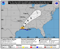
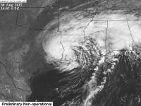
After landfall, Harvey moved very slowly inland, then towards the coast over the course of several days. Harvey came off the coast and continued the deluge of rain in Texas. After almost a week of rain, Houston area received 51.88“ of rain, a CONUS record for tropical cyclone rainfall. Harvey made its second US landfall in the morning of August 30, 2017 as a 50 mph tropical storm and dumped flooding rain into Louisiana and created more severe weather throughout Louisiana and Mississippi.
Harvey's impacts caused gas prices to spike almost a quarter nationally, and shut down the colonial pipeline as well for days, and the flood relief efforts continue on as of September 3, 2017, with many estimates for the storm rising, potentially making Harvey the second or most costly hurricane in US history.
Which Model Won?
Part 1*
- ECMWF - Weak Tropical storm or depression at best, headed toward Central America.
- CMC - Developed the system entirely and into a category 1 hurricane. Path into Central America.
- GFS - Had no interest in developing the system, took it into Central America as a weak wave.
- UKMET - Developed the storm into a weak tropical storm.
- HWRF - Developed system numerous times into a hurricane, pressure around 970 mb with cat 1 or weak cat 2 winds. Path into Central America.
- HMON - Kept the wave weak, developed it into a mid grade tropical storm at best. Path into Central America.
End Result:
- Long - Medium range : HMON and UKMET - The HMON and UKMET were able to get Harvey kicked off in the Carribean, but knew it wouldn't last. Because it dissipated, the CMC was too strong, as was the HWRF.vThe ECMWF downplayed the system entirely into a weak swirl at best. The GFS was even worse and went too weak. The ECMWF did sniff it out though, but didn't get the path right like the HMON and UKMET did.
- Strength - HMON - Down to the strength, the HMON seems to have performed well, only keeping a 35 knot system at best, while the UKMET was just a bit stronger. The ECMWF was too weak and the strength is best explained above.
Part 2*
- ECMWF - Strong Tropical storm or weak hurricane into Southern Texas, then offshore and into Louisiana as the same. Transitioned to hurricane into the same area.
- CMC - Initially nothing, then cat 1 hurricane with 980mb's pressure into Southern Texas, then transitioned to a hurricane into South Texas never reemerging.
- GFS - Moderate tropical storm to strong cat 1 or 2 into Houston or Southern Texas with pressures bottoming out in the low 960mb's to upper 950mb's.
- UKMET - Moderate tropical storm.
- HWRF - Strong cat 1 or 2 hurricanes into Mexico initially, then took the same strength into Southern Texas, then a strong cat 2. Sniffed out RI first. A day or two before landfall, switched to a strong cat 3 or weak cat 4.
- HMON - Weak tropical storm initially, then took cat 1 or cat 2 into Southern Texas. Up a day or two before landfall, switched to a weak to strong cat 4.
End Result:
- Short - Medium range : HMON and HWRF - Due to the storm forming and hitting land within three days, the Long - medium range category doesn't exist. The ECMWF did okay with the track, but ultimately failed with the strength and timing, as well as the strength, while the HWRF and HMON did well. The HWRF did better on track, while the HMON did better on strength, but overall, they did well. The GFS was too dissipating as was the CMC.
- Strength - HMON and HWRF - The HMON and HWRF absolutely did amazing with this storm. It predicted that Harvey would blow up into a cat 4 while other models didn't, except for the NAM 3KM, which was too strong. The European model did horrible, as did the CMC and GFS. The GFS was the closest in third place.
* Each section, the points are halved
