Hurricane Gert
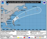
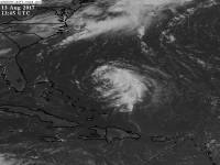
Tropical Depression Eight formed at the 11 PM advisory on August 12, 2017 as a 35 mph tropical depression with a min pressure of 1011mb. The system crossed the Atlantic over a week or two remaining an elongated swirl, but finally developed after passing northwest of the Lesser Antilles.
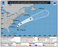
At the 5 PM advisory on August 13, 2017, TD8 was upgraded to tropical storm Gert with max winds of 40 mph and a central pressure of 1011mb.
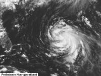
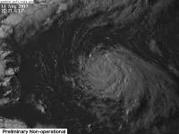
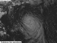
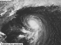
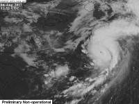
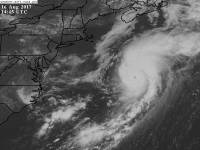
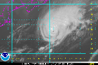
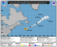
After a day of intensification, Gert strengthened to a category 1 hurricane with winds of 75 mph and a central pressure of 986 mb, making it the second hurricane of the year.
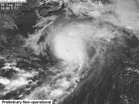
Gert continued to intensify slowly, but hit a stall after getting dry air into its core, hence keeping its winds at 75 mph for some time. After that, Gert intensified fast into a strong category 1 before jumping to a low end category 2 on August 16, 2017.
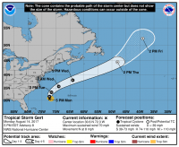
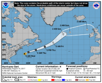
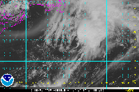
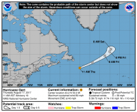
On the afternoon of August 17, 2017, Gert became an extratropical cyclone as it accelerated pole ward.
Later that day at the 5 PM advisory, Gert dissipated.
Impacts
Gert caused rough seas along the East coast of the US as well as rough seas in the path it traveled.
Which Model Won?
- ECMWF - Found the system way out, but incorrectly modeled its lifetime, making it much further back on its track. As of development, snowed a very weak system to nearly nonexistent. Weak TS after development to strong TS.
- CMC - Kept the system on the same forecast track since it came off of Africa, always having a recurve out to sea as a weak hurricane or strong tropical storm. Earned the find due to having a correct development window.
- GFS - Didn't develop the system just as much as the ECMWF did. Transitioned to stronger cat 1.
- UKMET - Little to no development, weak tropical storm.
- NAM - Moderate tropical storm, had cat 1 hurricane initially with pressures of around 970 - 980 mb. Transitioned stronger to cat 2 or 3.
- HWRF - Very strong hurricane after forming. Blew the storm up from a cat 1 to a cat 3, or even a 4 one run. Transitioned stronger to a strong cat 4 or 3.
- HMON-PARA - Low strength tropical depression or storm, transitioned to a strong cat 1 or weak 2.
End Result:
- Long - medium range : CMC and HWRF and HMON - The CMC found the system and the track relatively well and maintained it ever since it was in the middle of the Atlantic. The HMON and HWRF varied on strength, but got the path right. The other models just weren't interested in Gert at all.
- Short Range : HWRF and HMON - The HWRF and HMON once more were on opposite sides, but ended up tying in the sense that the HMON was too weak early on, but came to its senses and the HWRF was spot on early but became too strong. The NAM overdid the system by blowing it up into a major hurricane.
- Strength : HWRF and HMON. The HWRF did well initially, but failed when it came down to longer range. the HMON started out on the wrong foot, but found a correct solution with the correct winds and pressure. The CMC was too weak and the GFS and ECMWF had no interest in developing the system into a hurricane until it actually became one.
