Models & Maps
~~~~~~~~~~~~~~
Some General Information
Long Range Models
Short Range Models
Model Bias Info
https://weathereyes.blogspot.com/p/numerical-weather-prediction-model.html
~~~~~~~~~~~~~~
Models Broken Out Alphabetically by Model Type/Source —
Some of these links contain access to the same models, but provide different parameters, so folks can (hopefully) find a link that suits their individual taste and interest for a given model; other links are “unique” in that they provide access to secondary sources and information.
When adding to this - Please maintain the order and structure!!!! Please … ![]()
—————————————————————————————————————-
CFSv2
- Forecast of Weekly Climate Anomalies http://www.cpc.ncep.noaa.gov/products/people/mchen/CFSv2FCST/weekly/
- Forecast of Monthly Mean Climate Anomalies http://www.cpc.ncep.noaa.gov/products/people/mchen/CFSv2FCST/monthly/
CPC Stuff
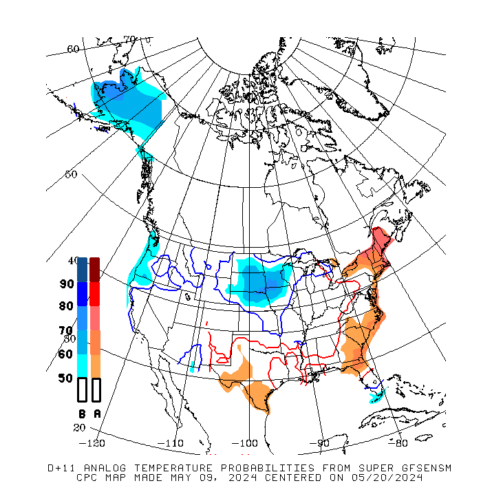
- Super Ensemble - 11 Days - Temp http://www.cpc.ncep.noaa.gov/products/predictions/short_range/tools/gifs/sfc_count_sup814_temp.gif
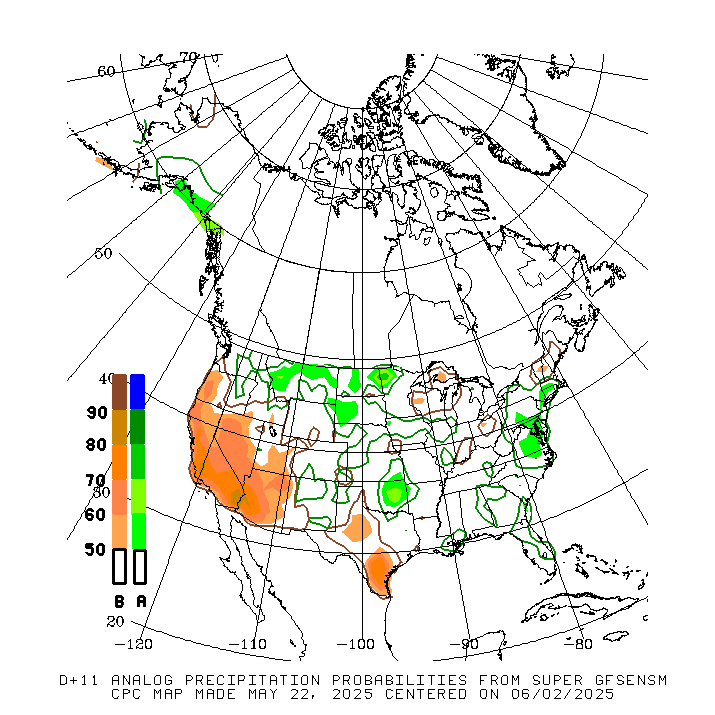
- Super Ensemble - 11 Days - Precip http://www.cpc.ncep.noaa.gov/products/predictions/short_range/tools/gifs/sfc_count_sup814_prec.gif
- Outlook Maps to Day 14 and Monthly and Seasonal http://www.cpc.ncep.noaa.gov/products/forecasts/
- Verification For the Foregoing Link http://www.cpc.ncep.noaa.gov/products/archives/short_range/srarc.ind.php
- Archive of Past Outlook Maps http://www.cpc.ncep.noaa.gov/products/archives/short_range/srarc.ind.php
Climate Comparisons (Anomalies)
- Climate Comparisons (Anomalies) http://prism.oregonstate.edu/
- Regional Climate Maps - CPC (Historic Data) http://www.cpc.ncep.noaa.gov/products/analysis_monitoring/regional_monitoring/usa.shtml
Euro/UKMET Related - Free (Choose Inside The Link – Along With Other Models)
- Multiple Maps (including the ever hard to get Euro) - Note - These load about an hour slower than paid maps. http://meteocentre.com/numerical-weather-prediction/forecast-systems.php?mod=ukmet&map=na&run=00
- 4 pane graphic out to 240 http://mp1.met.psu.edu/~fxg1/ECMWF_12z/ecmwfloop.html
- Canadian - Multiple Models including the Euro and UKMET (and other models that many consider “secondary”) http://meteocentre.com/numerical-weather-prediction/
E-Wall
These models are multifaceted - all are from Penn State and provide a plethora of information
General Stuff
- 5 Day Temp Progs (Select your State) http://wxweb.meteostar.com/coop/index.shtml?STATE=FL
- NWS COOP MOS FORECASTS (Default to FL - Choose your state and closest station) http://wxweb.meteostar.com/coop/index.shtml?STATE=FL
- NWS S/E Region http://www.weather.gov/srh/
- Storm Prediction Center http://www.spc.noaa.gov
- National Hurricane Center http://www.nhc.noaa.gov
GFS Related (On Some You’ll Need To Enter Your Location – Some Of These Are Defaulted To G'ville)
- Defaults to GFS but includes the GEFS and other models, including the HRRR - provides many layers for each model - layer tabs are at the bottom, model tabs at the top http://www.tropicaltidbits.com/analysis/models/
- Model Extraction for most any location http://www.wxcaster.com/models_text2.htm
- Additional Selections for Model Extraction for most any location http://www.wxcaster.com/models_text.htm
- GFS 16 Day Plots - Enter Your nearest ICAO - Fabulous data, even if it is GFS! http://wxweb.meteostar.com/sample/sample.shtml?text=KGNV#
HRRR
- HRRR - Map Links on the Left NOAA The High-Resolution Rapid Refresh (HRRR)
- HRRR from Tropical Tidbits Tropical Tidbits
Lightning Map(s)
- Real Time Lightning Map https://www.lightningmaps.org/?lang=en#m=sat;r=0;t=2;s=0;o=0;b=;n=0;y=32.7587;x=-74.2871;z=4;
- Southeast Lightning Map - Real Time http://en.blitzortung.org/live_lightning_maps.php?map=32
- Lightning Analysis On City/Street Map! Go Into State, Then County, Then Click On The Flash Icon & See Where It Struck https://weather.us/lightning
Maps and Meteograms
- George Mason University - Metograms and a wealth of other data http://wxmaps.org/
- Make Your Own Map http://vortex.plymouth.edu/myo/
- Free section of a paid site with numerous free maps available http://www.instantweathermaps.com/
Models - General
- HRRR NOAA site - official site of the HRRR https://ruc.noaa.gov/hrrr/
- NCEP model page - some people prefer the old school things http://mag.ncep.noaa.gov
- Pivitol Weather - Many models, and soundings. A great free site http://www.pivotalweather.com
- Ryan Maue - Weather.us General Models Page https://weather.us/
- Ryan Maue - Weather.us Multi Models Page. Probably the best free site http://wx.graphics/index.php
- Ryan Maue - Weather.us - Your Back Yard (Defaulted to Gainesville - Select and Go to Your Location From Here) https://weather.us/forecast/4156404-gainesville/essentials
- Twisterdata - About the same as Pivitol Weather but with less detail. Has some parameters that Pivotal Weather doesn't, however http://www.twisterdata.com
Other Models & Model Sites W/ Multiple Models
- Mikes Weather Page - Just about every map you can imagine http://www.spaghettimodels.com/
- Global Deterministic Prediction System (GDPS) http://weather.gc.ca/model_forecast/global_e.html
- Japanese seasonal model with ENSO updates as well http://www.jamstec.go.jp/frcgc/research/d1/iod/e/seasonal/outlook.html
- French version of many models http://www.meteociel.fr/modeles/arpegee_cartes.php?ech=27&code=0&mode=0&carte=2
- Dacula Weather - Muti-facted site with models, official discussions and much more http://www.daculaweather.com/4_hpc_model_diag_disco.php
- A model site from New Mexico with many model links http://www.joediaz.net/
- Multiple model site from Sutron http://wxweb.meteostar.com/models/
- Multiple model site from College of DuPage http://weather.cod.edu/forecast/
- Weather Online - Multiple Link Weather/Model/Climate Page (Worth knocking around in) http://www.woweather.com/
- Weather Nerds - Multiple Models (Very Good Stuff Here) https://www.weathernerds.org/home.html
NWS Models
- National Weather Service's National Centers For Environmental Prediction's Environmental Modeling Center http://www.emc.ncep.noaa.gov/
National Weather Service
- Main Site www.weather.gov
Observations
- SPC Mesoanalysis mobile page - OBs and parameters of surface and upper air. A must use for nowcasting. Note most of the parameters are off the RAP and may be off a tad. The link to the full page is at the top/left. * http://www.spc.noaa.gov/exper/mesoanalysis/new/mobile.php
- Tropical cyclone heat potential - tells you how much energy is in the water for use by tropical cyclones. Calculated by temperature and depth of that temperature. http://www.aoml.noaa.gov/phod/cyclone/data/at.html
Plume Viewer
- NCEP NWS/SPC Plume Viewer - 3 hour increments over 7 days – many variables to look at http://www.spc.noaa.gov/exper/sref/srefplumes/
Precipitation Type
- Choose Your State, City and Precip Type http://coolwx.com/cgi-bin/getbufr.cgi?region=FL&stn=KGNV&model=gfs&time=current&field=prec
Run to Run Comparisons
- Run to Run Comparisons For a Few Models http://www.wxforecaster.com/runtorun/all.html
Satellite Pages
- GHCC interactive imagery - interactive satellite shots of the Atlantic and Pacific https://weather.msfc.nasa.gov/GOES/
- Weathernerds GOES 16 Satellite Data http://www.weathernerds.org/satellite/
- GoesEast Satellite Images (With Loops) https://www.star.nesdis.noaa.gov/GOES/GOES16_CONUS.php
Snow Cover
- US National Ice Center - Snow and ice maps - regional to global http://www.natice.noaa.gov/ims/
Storm Prediction Center
- SPC Main Site http://www.spc.noaa.gov/
Teleconnection Related
- Dynamical Model MJO Forecasts http://www.cpc.ncep.noaa.gov/products/precip/CWlink/MJO/CLIVAR/clivar_wh.shtml
- PSD Map Room https://www.esrl.noaa.gov/psd/map/
- MJO Forecast - Multiple models http://www.daculaweather.com/4_mjo_phase_forecast.php
- MJO Temperature Composites for the year (graphics) http://www.cpc.ncep.noaa.gov/products/precip/CWlink/MJO/Composites/Temperature/
Tropical Models
Weather History (Set Your Location and/or Time Frame)
- Weather Underground – Set your location, then go to “History”; This is defaulted to Gainesville https://www.wunderground.com/history/airport/KGNV/2017/06/05/DailyHistory.html?req_city=Gainesville&req_state=FL&reqdb.zip=32605&reqdb.magic=1&reqdb.wmo=99999
- Enter your location in the upper right hand box https://weatherspark.com/history/30390/1977/Gainesville-Florida-United-States
- Enter the location and then go to the tab in the upper left (Local), do the drop down (Historic Averages), and choose your month and you'll have daily records and monthly info for whatever location http://www.intellicast.com/Local/History.aspx
Wind Maps/Water Vapor
These links provide real time wind-in-motion graphics at various layers of the atmosphere, and water vapor loops
- College of Dupage NEXLAB Experimental Satellite http://weather.cod.edu/satrad/exper/
- General Wind Map http://hint.fm/wind/
- GOES 16 - Colorado State: http://rammb-slider.cira.colostate.edu/
- Earth Wind Map Surface https://earth.nullschool.net/#current/wind/surface/level/orthographic=-74.21,21.02,1907
- VENTUSKY - Multifaceted Wind Mapshttps://www.ventusky.com/?p=27.99;-79.33;6&l=gust&w=0xIAb9A9A
- GOES East Water Vapor Loop http://www.ssd.noaa.gov/goes/east/eaus/flash-wv.html
- Univ Washington Water Vapor Loop http://www.atmos.washington.edu/~ovens/wxloop.cgi?wv_east_enhanced+12
More Stuff
- Oscillations Explainedhttp://www.whoi.edu/main/topic/el-nino-other-oscillations -
~~~~~~~~~~~~~~~~~~~~~~~~~~~~~~
Back to the Main Forum Page SouthernWx Home
Back to General Weather SouthernWx Weather Forum