Table of Contents
Tropical Storm Franklin
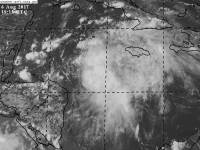
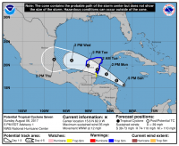
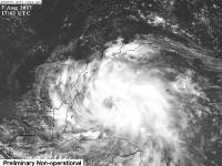
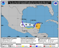
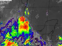
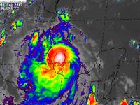 Potential Tropical Cyclone Seven (PTC7), after crossing the Atlantic from off the African Coast and being named Invest 97L, then Invest 90L, became a PTC at the 5 PM advisory on August 6, 2017 with winds of 35 mph and a central pressure of 1008 mb.
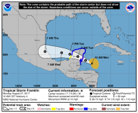
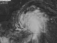
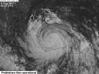
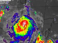
It was upgraded to Tropical storm Franklin at the 11 PM advisory on August 6, 2017 with winds of 40 mph and a pressure of 1006 mb. The storm began to strenghten and organize quickly the morning of August 7, 2017 as by the 11 AM advisory, it had become a 60 mph tropical storm with a central pressure of 999mb.
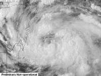
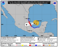
Franklin peaked first with winds of 60 mph and a central pressure of 995mb before its first landfall, which brought its winds down to 45 mph and pressure down to 1001 mb. Franklin bottomed out at 40 mph just after moving off of land.
Once Franklin moved away from land, it began to rapidly intensify, with its pressure dropping fast to 985 mph by the afternoon of August 9th and its winds had increased to 70 mph.
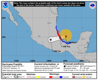
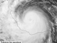
At the 5 PM advisory on August 9, 2017, Franklin was upgraded to a hurricane, making it the first one of the year. It had a maximum sustained winds of 75 mph and a min pressure of 984 mb at that time.
Franklin maxed out with winds of 90 mph and a min pressure of 981 mb confirmed by the hurricane hunters between advisories. After maxing out, Franklin moved toward Mexico and made landfall and began to dissipate.
Franklin moved inland and became a tropical storm briefly the morning of Aug 10, 2017 before dissipating at the 11 AM advisory.
Impacts
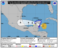
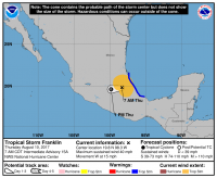
The development of the storm prompted tropical storm warnings and watches to be issued for the Yucatan Peninsula, and the next morning, hurricane watches were issued on the Yucatan Peninsula due to the storm becoming a strong tropical storm overnight.
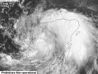
Franklin made its first landfall just before 11 PM CDT on August 7, 2017 near Pulitcub, Mexico, bringing high winds and heavy rain to the Yucatan Peninsula.
Once Franklin moved into the Gulf, Mexico issued hurricane watches and warnings for the coast in Franklin's path.
Franklin made its second landfall at around 11 PC CDT on the Mexican coastline with its pressure rising rapidly and its winds diminishing, but still as a hurricane. Franklin threatened high winds and mudslides as well as 8 to 16 inches of rain and locally 20 inches to the Mexican coast as well as inland.
Which Model Won?
- ECMWF - First model to find the storm. Discovered it early, followed closely by the NAVGEM. Developed a tropical storm to a weak hurricane over time.
- CMC - Lacked interest in storm development until the day the storm formed.
- GFS - Lacked interest early, then slowly caught on, and several runs before formation, developed it into a strong hurricane each run, nearly a cat 2 or 3.
- NAVGEM - Developed the storm into a strong tropical storm and a weak hurricane at most.
- UKMET - Moderate tropical storm at best.
- HWRF - Developed the storm into a massive hurricane once it moved into the gulf, with winds up around a strong cat 2 or 3, then decreased to just barely a cat 1 in the Gulf the day of landfall.
- HMON-PARA - Developed a hurricane around a cat 1 or 2, and maintained that, though had a run or two later peaking at a cat 3.
End Result:
- Long - medium range : ECMWF and NAVGEM - The ECMWF not only sniffed out the system, but was most consistent with having the storm as well as having a close strength to what Franklin actually was. The NAVGEM was a little weaker, but had more runs closer to reality wind strength wise than the ECMWF.
- Short range : Tie between HMON-PARA and HWRF - The HWRF started too strong, and the HMON started too weak. Both moved towards each others initial solutions before becoming equal around landfall. Their pressures were off by anywhere between 1 and around 10 mb.
- Strength : ECMWF and GFS - The ECMWF had just a very slight edge compared to the other models, as well as the GFS. They both modeled more runs closer to the actual min pressure of 981 mb than the others. Though the GFS had too strong of runs earlier, it adjusted early enough to get quite close to the pressure that the storm was. The ECMWF on the other hand was too weak by about 5 to 10 mb most of the later runs. The NAVGEM stayed too weak and teh HWRF and HMON flipped to too strong and too weak at times and stayed undecided. the CMC also stayed too weak.
